Population
221,879 people
As at 2006. Source: 2006 census (NPC)
About this figure
The only census count. No later census exists, so every other population number is a projection or an estimate, not a count.
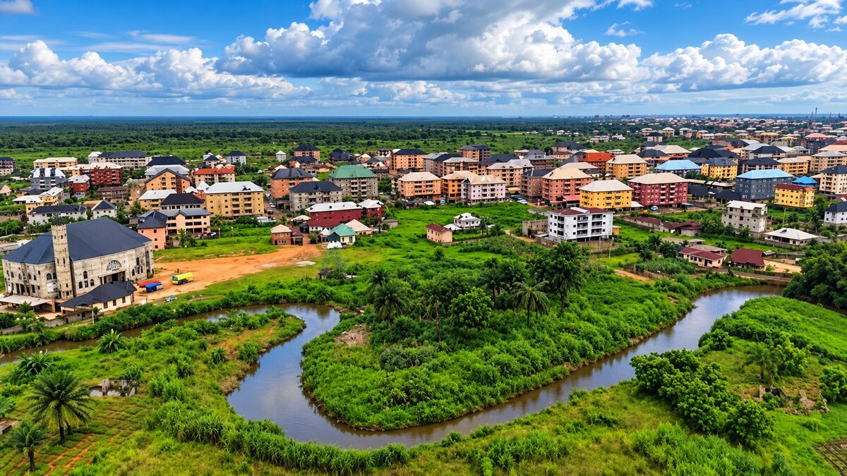
Anambra State, Nigeria
Flood and emergency information, council services and sourced facts for everyone in Ogbaru.
Ogbaru has 15 indigenous communities, plus Okpoko, the dense urban settlement beside Onitsha. Six of the 16 electoral wards are in Okpoko, and they hold 221 of the LGA's 383 polling units.
Polling-unit figures: compiled INEC-derived list, March 2026. The total is approximate.
Every figure shows its year and source. The last census was in 2006, so newer population numbers are estimates.
221,879 people
As at 2006. Source: 2006 census (NPC)
The only census count. No later census exists, so every other population number is a projection or an estimate, not a count.
16 wards
As at 2026. Source: INEC (via research dossier)
383 polling units
As at 2026. Source: Compiled INEC-derived list, March 2026
Approximate. The dossier author summed the list themselves and advises confirming against the INEC polling unit locator. Polling unit count is a proxy for registered voters, not a census.
Atani (LGA Secretariat)
As at 2026. Source: Research dossier (29 Sep 2026)
Anambra North
As at 2026. Source: Research dossier (29 Sep 2026)
One of seven LGAs in the district: Anambra East, Anambra West, Ayamelum, Ogbaru, Onitsha North, Onitsha South, Oyi.
Low-lying Niger River floodplain on the east bank; alluvial soils
As at 2026. Source: Research dossier (29 Sep 2026)
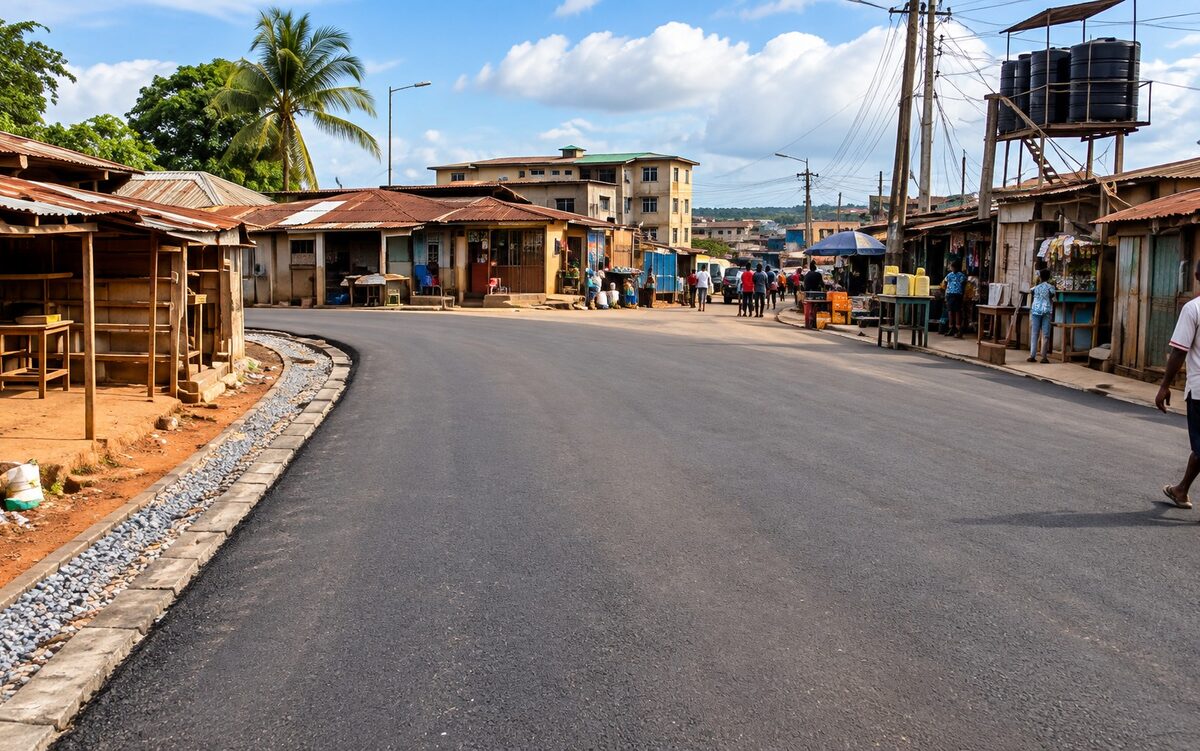
As at March 2025: 15.62 km complete, 3.46 km under construction
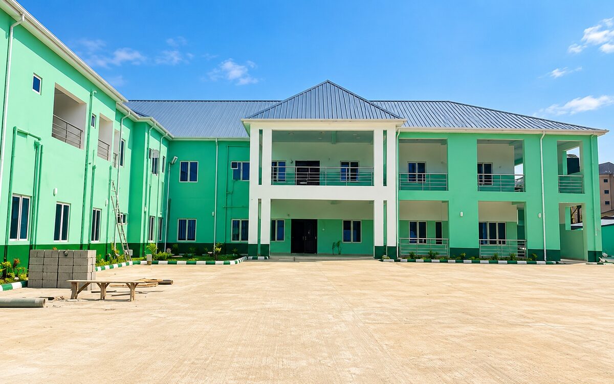
Commissioned around March 2025
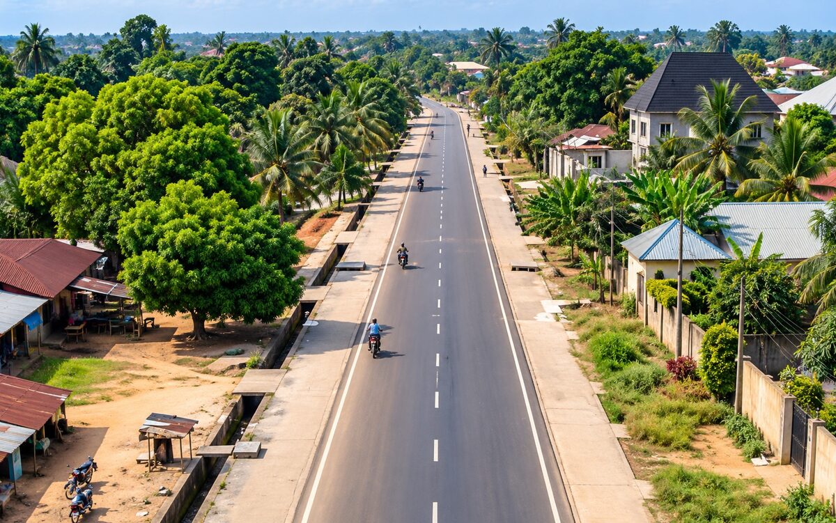
Status unclear, verify. Reported ongoing in October 2025, and credited to the state as built in 2025
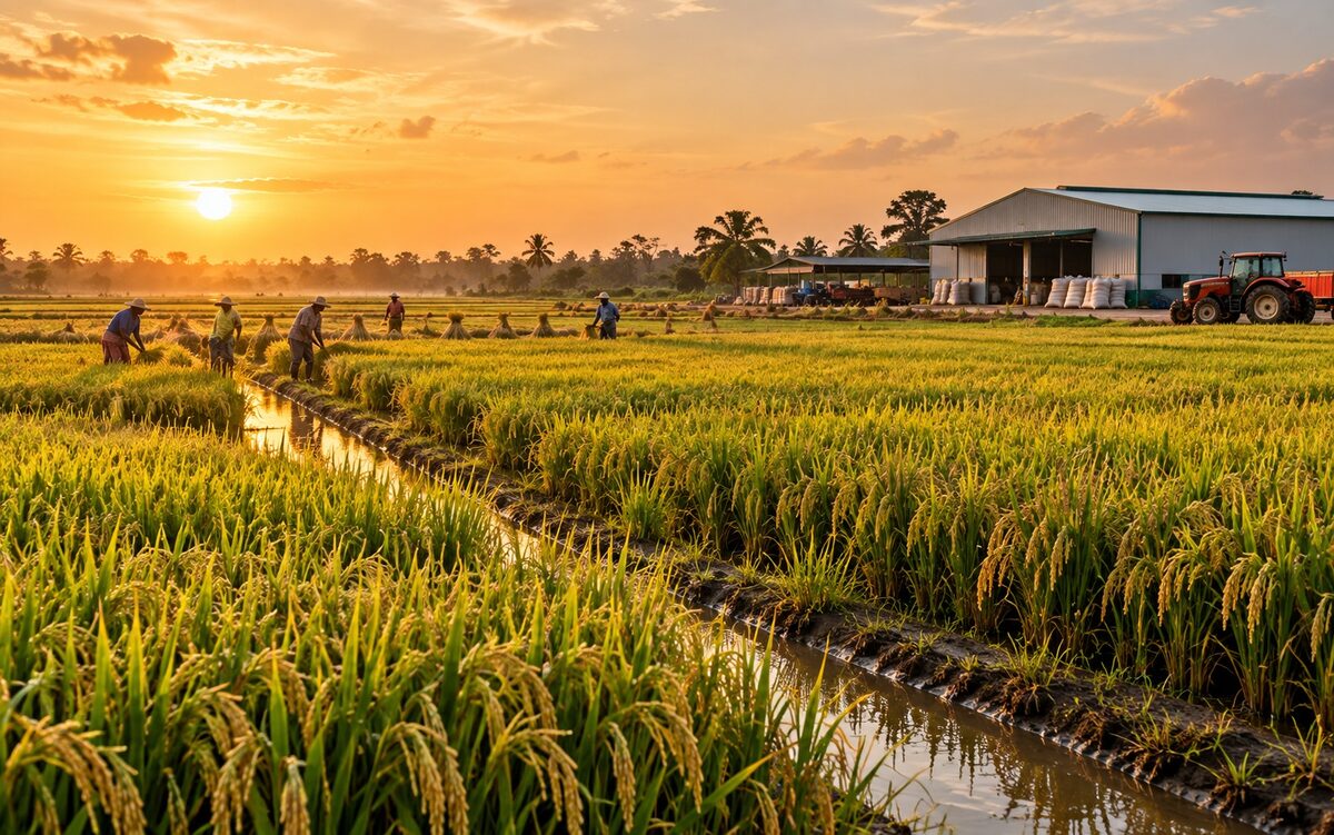
Atani is often called the rice, fish, yam and cassava basket of Anambra, and supplies markets in Delta and Anambra.
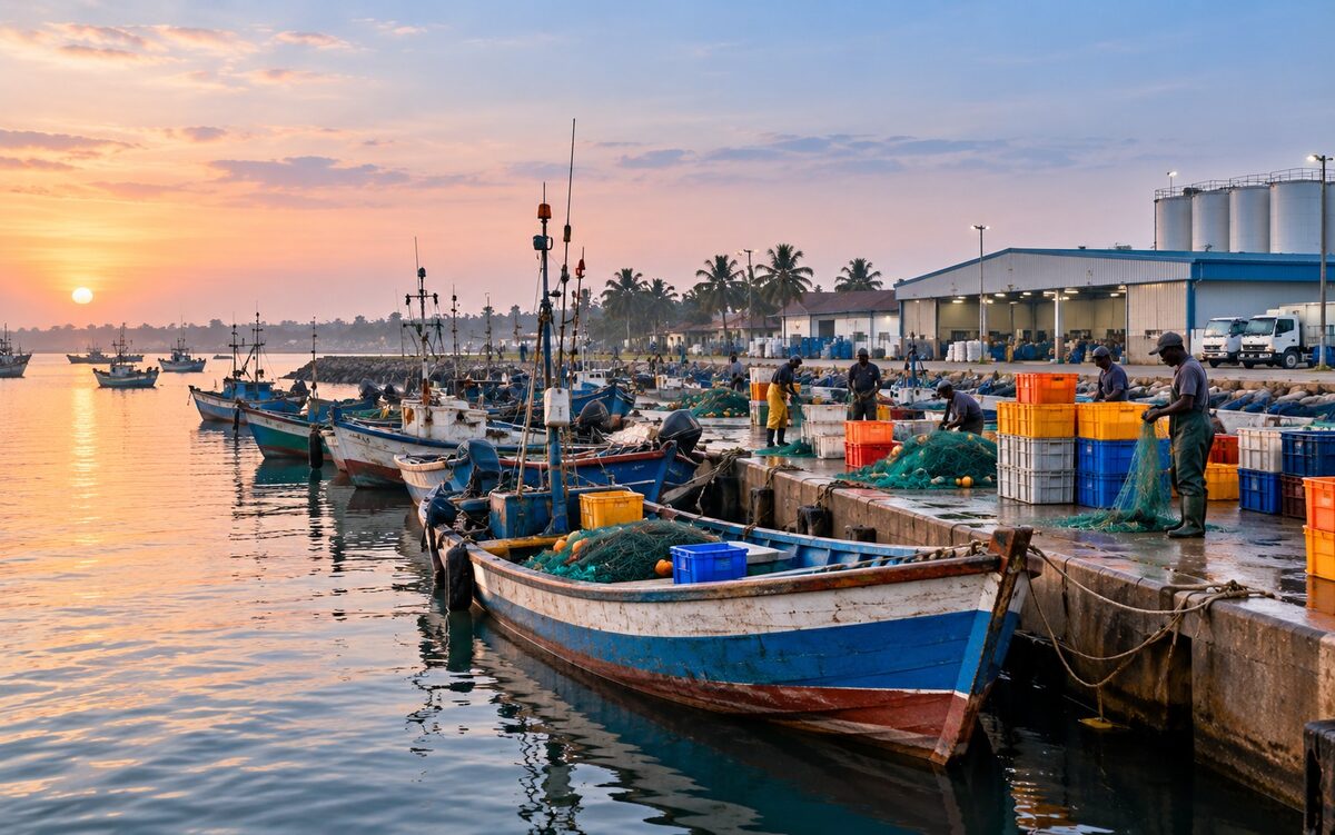
Freshwater fishing, including tilapia and catfish, supports both household needs and trade. Smoked and dried fish is sold in other towns.
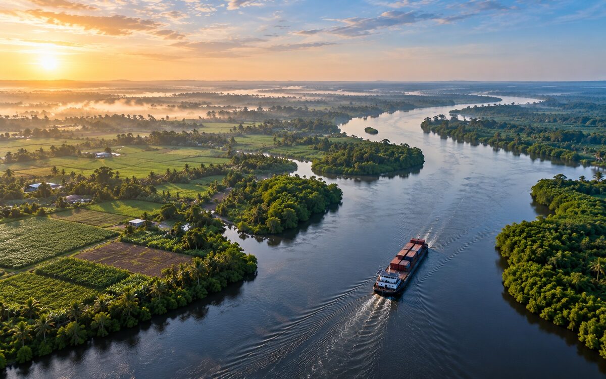
The Niger is the western boundary and main trade route. Ogbaru lies immediately south of Onitsha, on the river's east bank.
What investors should know
Farmers report poor roads, seasonal flooding, weak storage and processing, and limited credit as the main constraints. The flood peak typically lands in September and October.
Mayor Nnamdi Ifejika (Singa) flagged off a desilting exercise covering drainages and gutters from the First Niger Head Bridge, Ogbaru, to Upper Iweka, Onitsha, and called on market leaders, traders and residents to keep their surroundings clean.
Mayor Nnamdi Ifejika visited the scene of the collapse of a three-storey building at Emeka Ugwuanyi Street, Anata-Anaba, Okpoko, which killed Mrs. Happiness Ugagu and her daughter, Miss Confidence Chiamaka Ugagu, and called for closer attention to building safety.
Hon. Ifejika Nnamdi was inaugurated as Mayor of Ogbaru Local Government Area by Governor Chukwuma Soludo, then returned to Ogbaru to flag off the Ogbaru Healthy Environment Initiative and join the first waste collection.
Footage from council events and clean-up work in Ogbaru.
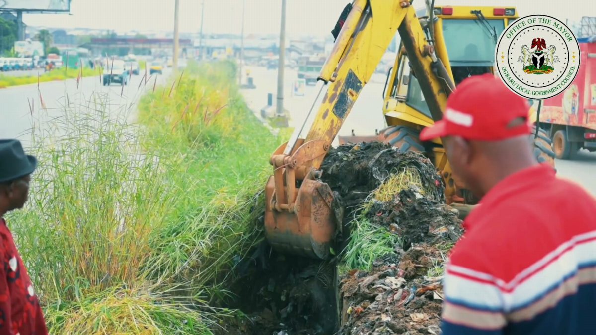
Footage of drains being cleared beside a dual carriageway. A yellow excavator digs refuse out of a roadside drain while men in caps and high-visibility vests look on, and a worker carries a spray tank.

Footage from a public event in Ogbaru. Speakers address a crowd from a podium carrying the seal of the Office of the Mayor, under a decorated canopy. Other scenes show refuse piled up beside a market.